
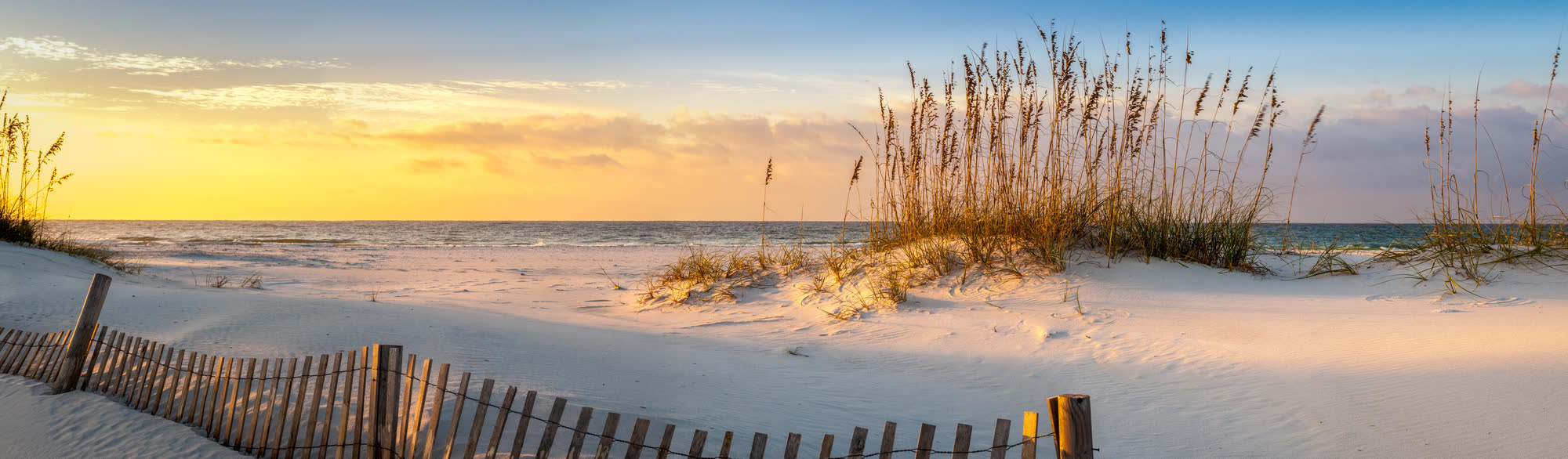
Live right now
Panhandle beach cams & conditions
6 live cameras from Pensacola Beach to Seaside, with the flags flying, rip current risk, surf, water temperature and UV for each stretch of coast.
On the coast
Panama City Beach
27 miles of sugar-white sand
Flag flying now
Yellow — moderate surf or currents
Reported by Bay County Beach & Surf Patrol
Beach score
8.5/10
Great
Air
81°F
Clear
Water
86.4°F
NOAA measured
Wind
3 mph
NE
Surf
Around 1 foot
1 ft offshore · 4s
UV index
8
Very High
Humidity
84%
Visibility
10 mi
Sun
6:24 AM
sets 6:56 PM
Tides today
- Panama City: High at 10:59 AM CDT
Flag reported by Bay County Beach & Surf Patrol. Rip current risk, surf and UV from the NWS TAE Surf Zone Forecast (issued 2:06 AM EDT Thu Sep 10). Air and wind from NWS observations at KECP; water temperature from NOAA CO-OPS station 8729210; wave height from NDBC buoy 42039. Beach score is ours, from flag yellow, moderate rip risk, 81°F air, 3 mph wind, 1 ft seas.
Conditions change fast. Always follow the flags and lifeguards on the beach itself.


30A & South Walton
Sixteen beach neighbourhoods, one scenic highway
Flag flying now
Yellow — moderate surf or currents
Purple flag also flying — stinging marine life
Reported by South Walton Fire District
Beach score
8.5/10
Great
Air
84°F
Mostly Cloudy
Water
86.4°F
NOAA measured
Wind
6 mph
E
Surf
1 foot or less
1 ft offshore · 4s
UV index
8
Very High
Humidity
79%
Visibility
10 mi
Sun
6:26 AM
sets 6:58 PM
Tides today
- Panama City: High at 10:59 AM CDT
Flag reported by South Walton Fire District. Rip current risk, surf and UV from the NWS TAE Surf Zone Forecast (issued 2:06 AM EDT Thu Sep 10). Air and wind from NWS observations at KDTS; water temperature from NOAA CO-OPS station 8729210; wave height from NDBC buoy 42039. Beach score is ours, from flag yellow/purple, low rip risk, 84°F air, 6 mph wind, 1 ft seas.
Conditions change fast. Always follow the flags and lifeguards on the beach itself.
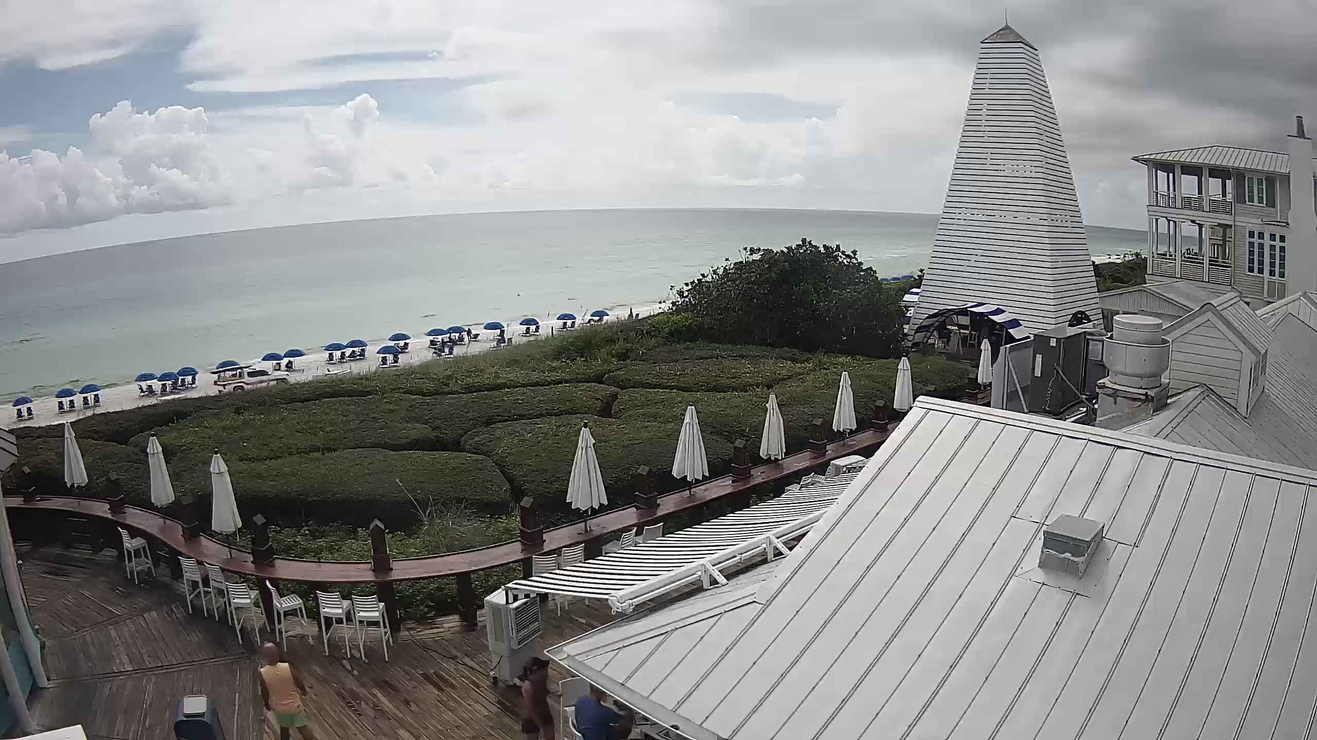

Destin
The world’s luckiest fishing village
Flag flying now
Not available here
We cannot pull Destin’s live flag in automatically. Destin Fire Control District posts it to their Beach Safety Facebook page rather than publishing a feed, and NWS Mobile does not relay it.
Check today’s flag: Destin Beach Safety on Facebook
Beach score
10/10
Perfect
Air
84°F
Mostly Cloudy
Water
88.3°F
NOAA measured
Wind
6 mph
E
Surf
1 to 2 feet
1.6 ft offshore
UV index
8
Very High
Humidity
79%
Visibility
10 mi
Sun
—
Tides today
- Pensacola Pass: High 1.2 feet (MLLW) 10:16 AM CDT
- Navarre Beach: High 1.5 feet (MLLW) 10:00 AM CDT
Flags, rip current risk, surf and UV from the NWS MOB Surf Zone Forecast (issued 3:02 AM CDT Thu Sep 10). Air and wind from NWS observations at KDTS; water temperature from NOAA CO-OPS station 8729840; wave height from NDBC buoy 42012. Beach score is ours, from low rip risk, 84°F air, 6 mph wind, 1.6 ft seas.
Conditions change fast. Always follow the flags and lifeguards on the beach itself.
Sandestin Golf & Beach Resort
Miramar Beach, Destin
Pensacola
America’s first settlement, and the Blue Angels’ home
Flag flying now
Yellow — moderate surf or currents
Purple flag also flying — stinging marine life
Reported by Escambia County Public Safety
Beach score
8/10
Great
Air
86°F
Light Rain
Water
88.3°F
NOAA measured
Wind
11 mph
SW · gusts 18 mph
Surf
1 to 2 feet
1.6 ft offshore
UV index
8
Very High
Humidity
72%
Visibility
10 mi
Sun
—
Tides today
- Pensacola Pass: High 1.2 feet (MLLW) 10:16 AM CDT
- Navarre Beach: High 1.5 feet (MLLW) 10:00 AM CDT
Flag reported by Escambia County Public Safety, 9:34 AM CDT Thu Sep 10. Rip current risk, surf and UV from the NWS MOB Surf Zone Forecast (issued 3:02 AM CDT Thu Sep 10). Air and wind from NWS observations at KNPA; water temperature from NOAA CO-OPS station 8729840; wave height from NDBC buoy 42012. Beach score is ours, from flag yellow/purple, low rip risk, 86°F air, 11 mph wind, 1.6 ft seas.
Conditions change fast. Always follow the flags and lifeguards on the beach itself.


About these cameras & conditions
Discover850 does not operate any of these cameras. Each stream is embedded from — or linked to — the provider that runs it, and every card credits and links back to them. Streams load only when you press Watch live, so the page stays fast and your data is not spent on cameras you did not open.
We do not set beach flags. Every colour here is reported by the county beach safety division that actually flies it — Escambia County, South Walton Fire District and Bay County Beach & Surf Patrol publish theirs directly, and the National Weather Service relays Gulf and Franklin counties in its Surf Zone Forecast. Okaloosa County sends its flag out by text alert and Facebook rather than publishing a feed, so Destin and Fort Walton Beach say “not published” rather than show a colour we guessed. Always follow the flags and lifeguards on the beach itself.
Rip current risk, surf height, UV and tides come from the NWS Surf Zone Forecast; air temperature and wind from the nearest NWS observation station; water temperature from NOAA CO-OPS tide stations; and wave height from NDBC offshore buoys. The beach score is our own composite and lists its inputs.
We have not yet found a public, embeddable camera for Mexico Beach, Port St. Joe / Cape San Blas or Apalachicola. If you run one there, get in touch and we will add it. Conditions for those areas are on their destination pages.