
Bay County
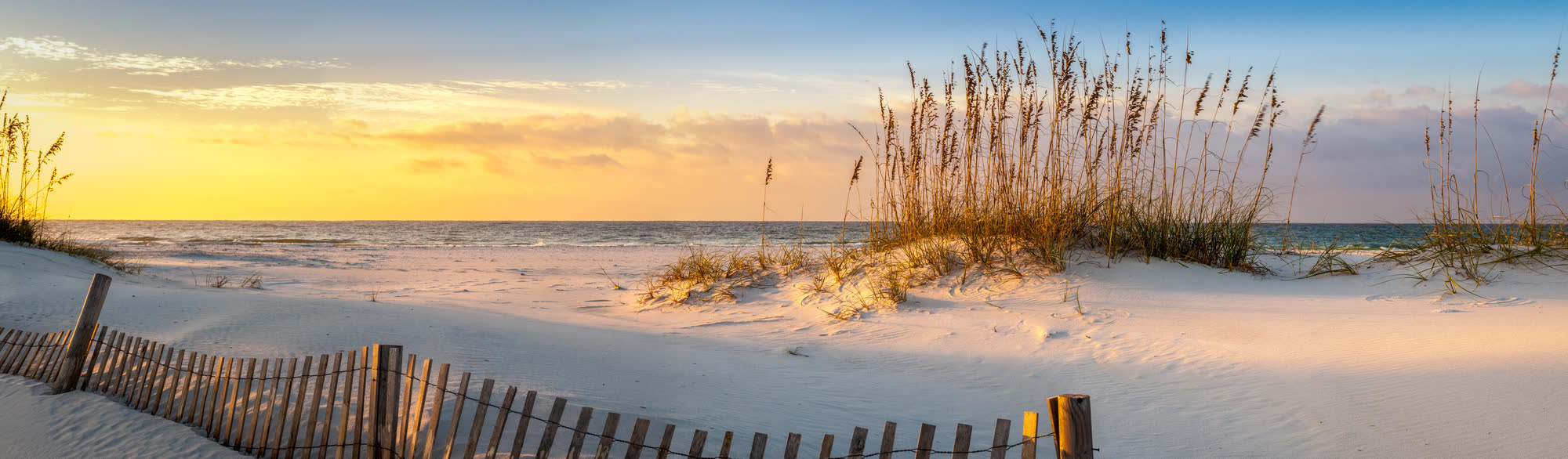
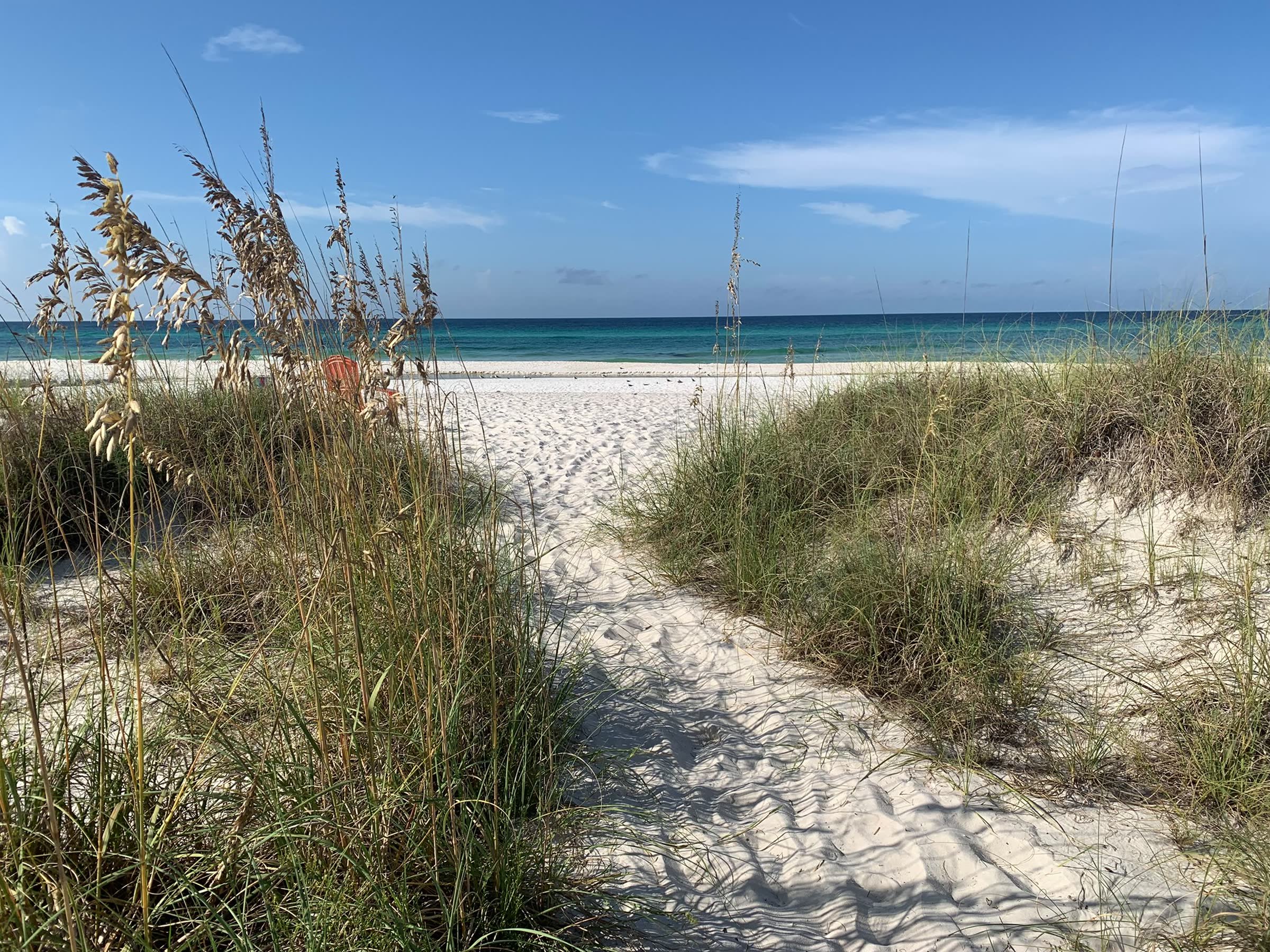
Panama City Beach
27 miles of sugar-white sand
56 events36 places to eat29 things to do2 beach cams
The Florida Panhandle runs roughly 200 miles from Pensacola to Apalachicola, and each stretch of it has its own character. Pick a base that matches the trip you want.
Bay County
27 miles of sugar-white sand
56 events36 places to eat29 things to do2 beach cams
Bay County
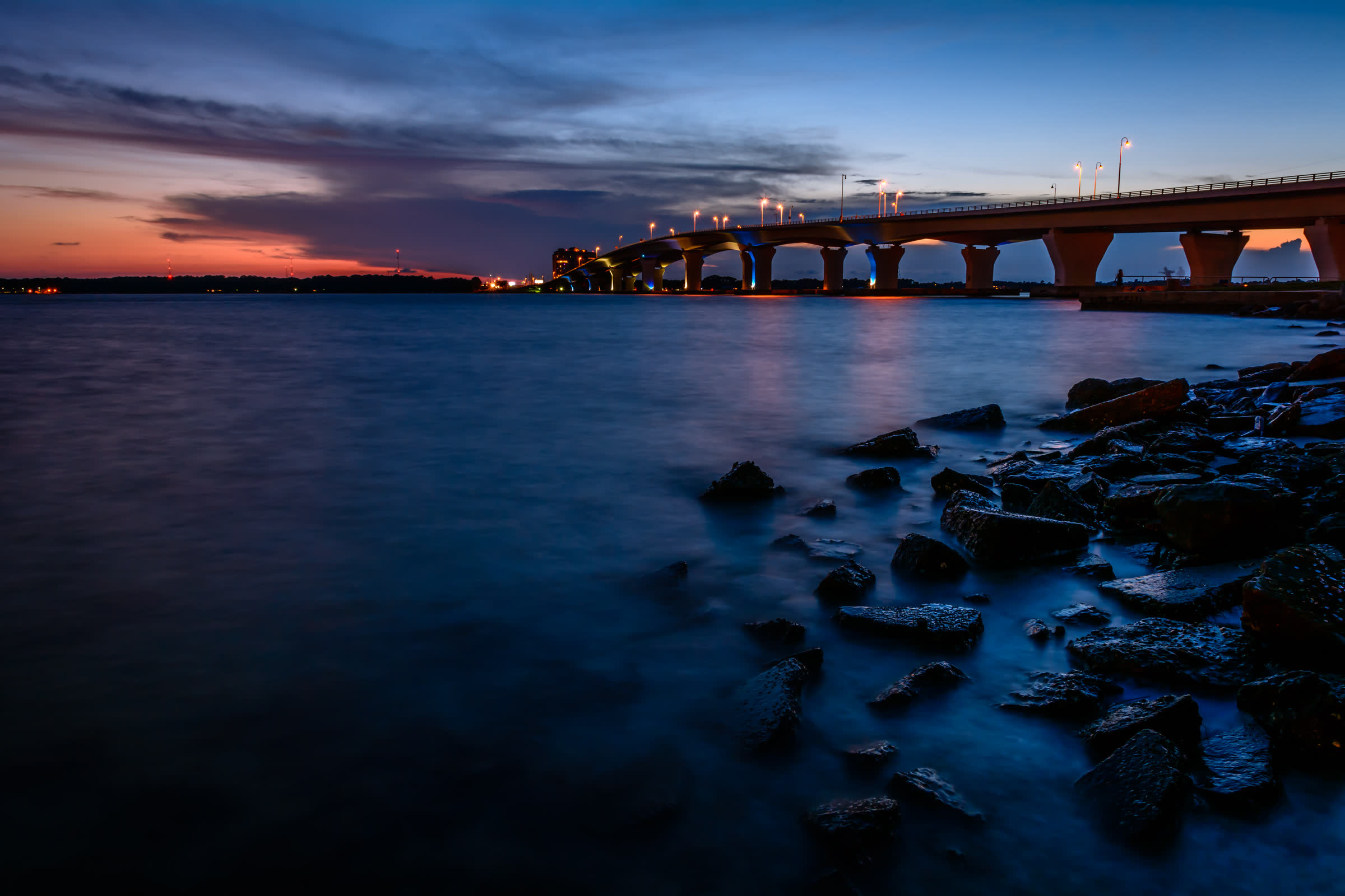
Historic downtown on St. Andrew Bay
7 events62 places to eat30 things to do
Walton County
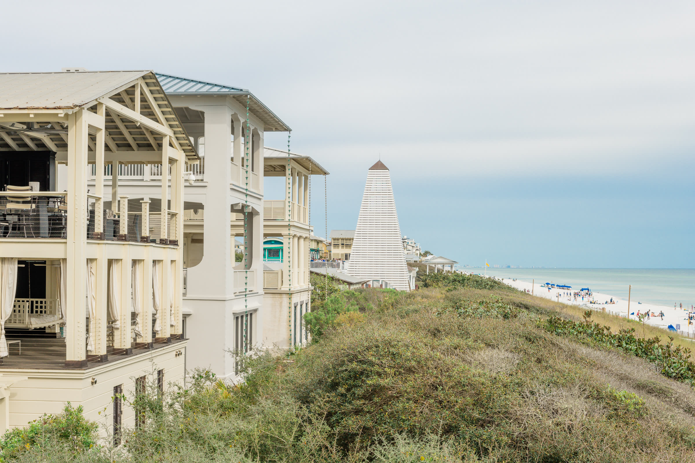
Sixteen beach neighbourhoods, one scenic highway
202 events37 places to eat51 things to do2 beach cams
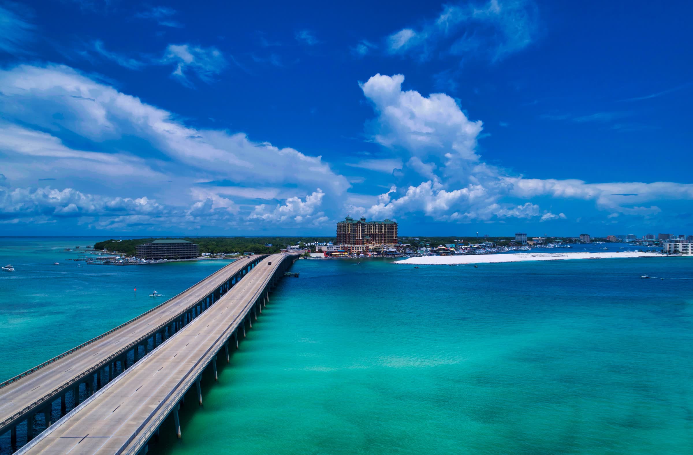
Okaloosa County
The world’s luckiest fishing village
19 places to eat19 things to do1 beach cam
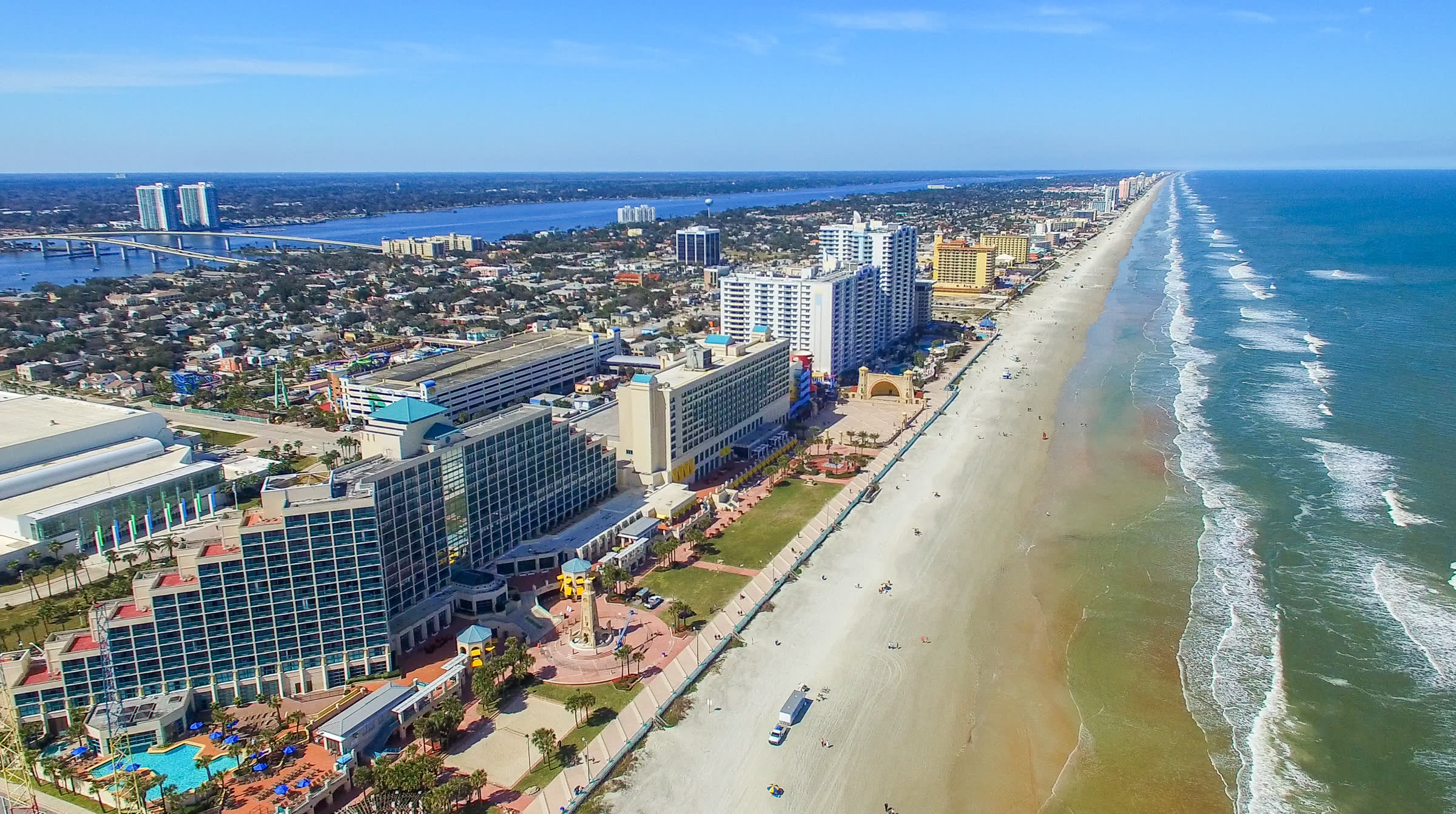
Okaloosa County
Boardwalks, bayous and the Gulfarium
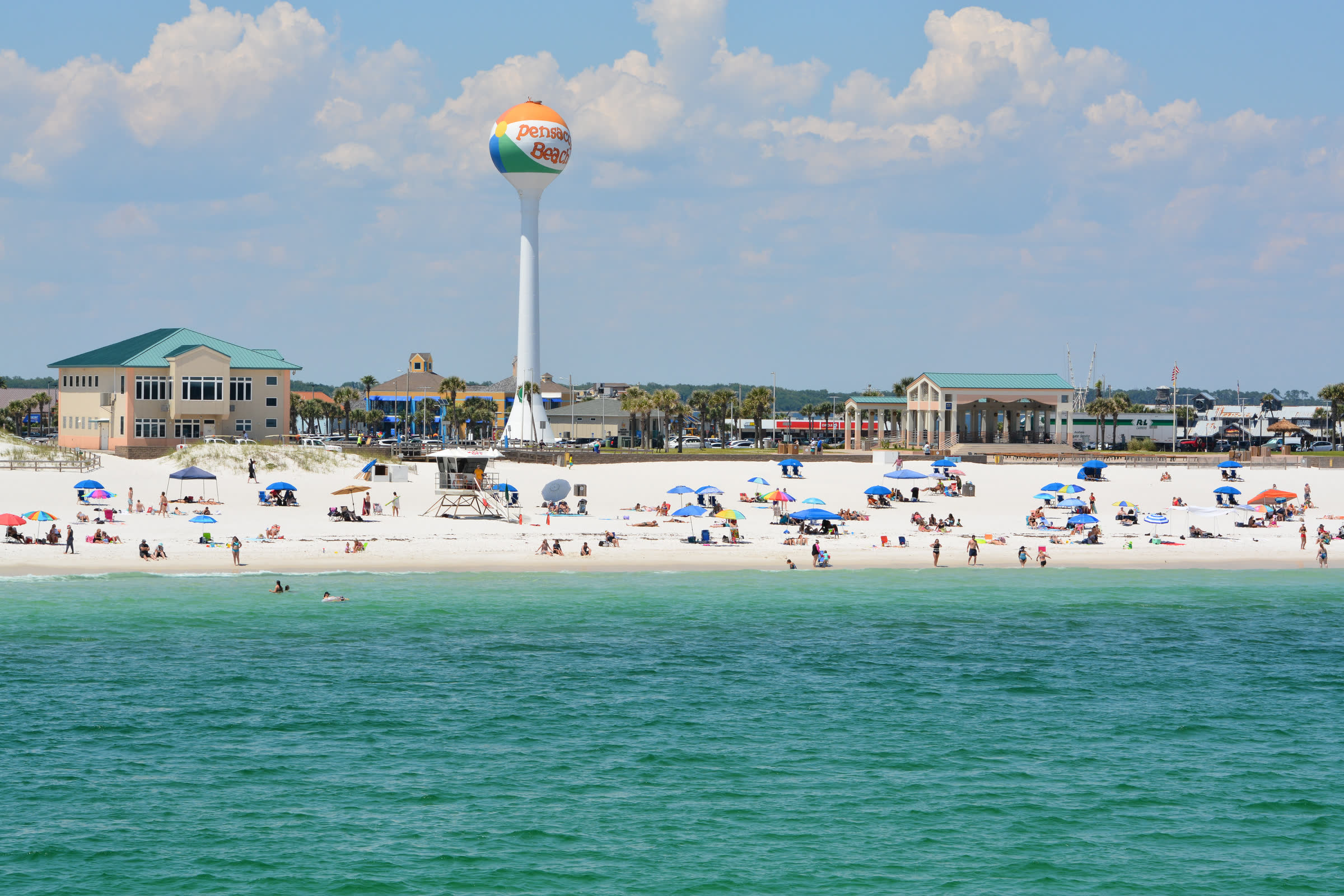
Escambia County
America’s first settlement, and the Blue Angels’ home
183 events3 places to eat5 things to do2 beach cams
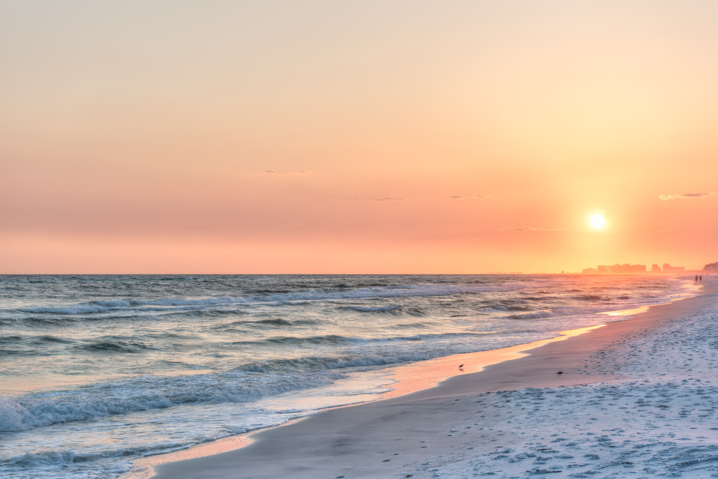
Bay County
The unforgettable coast
30 events
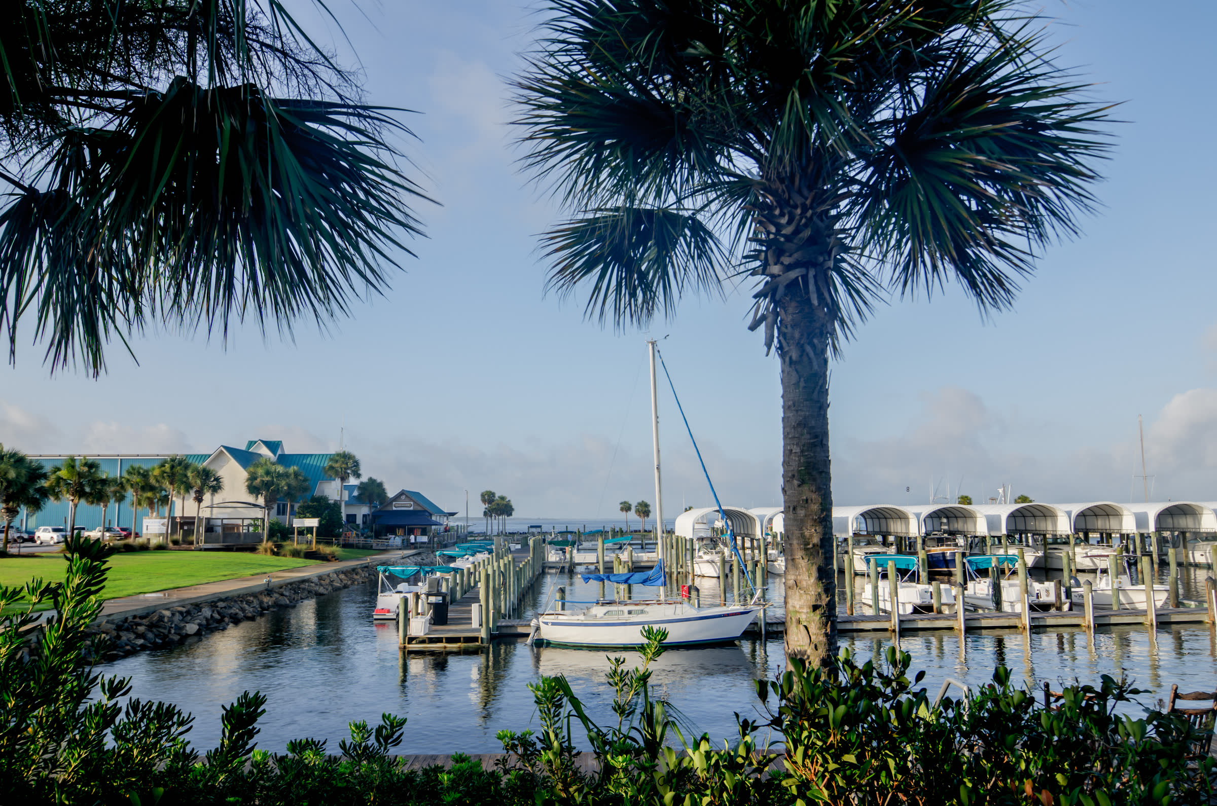
Gulf County
Where the forgotten coast begins
1 places to eat
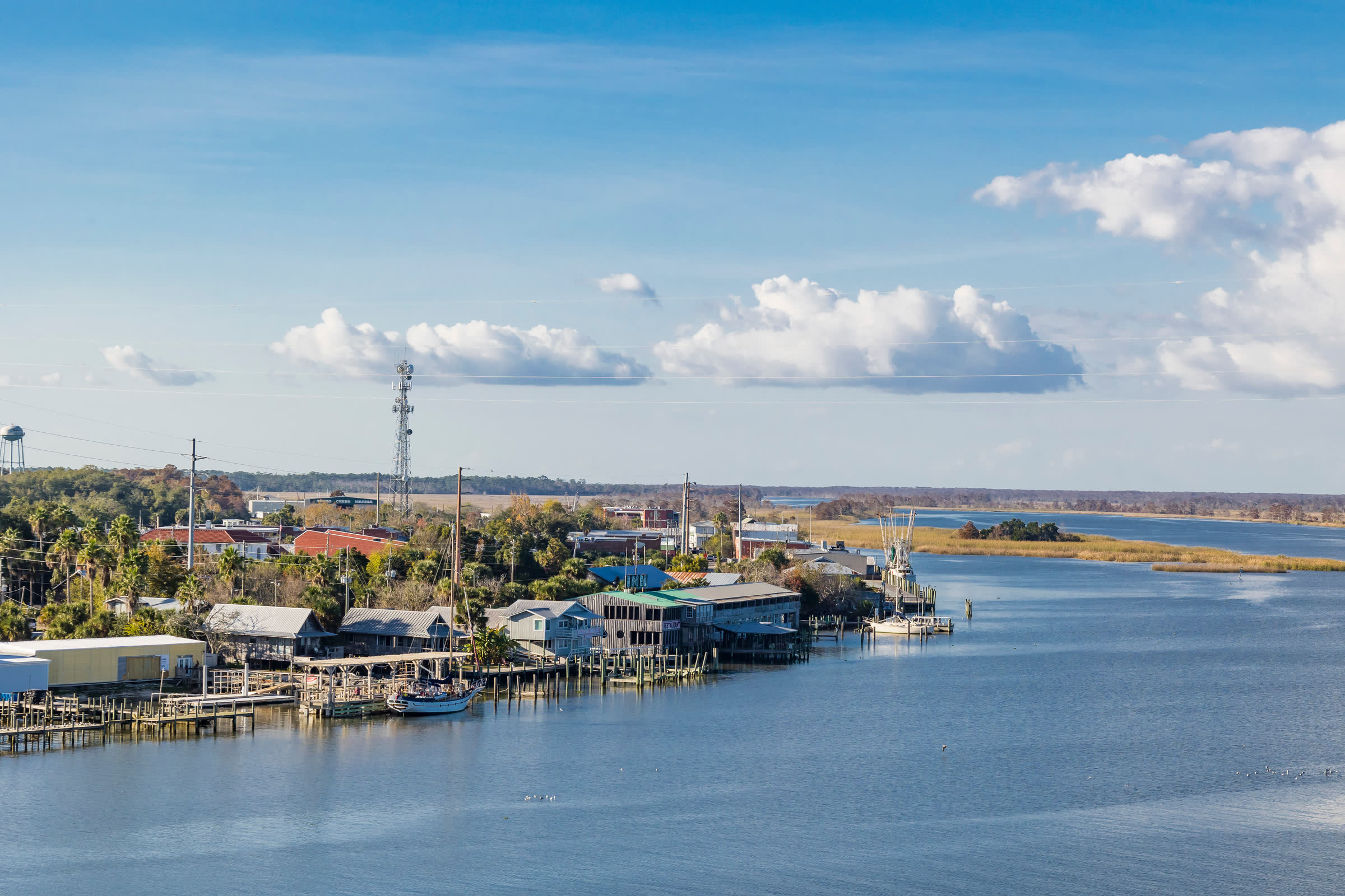
Franklin County
Oysters, tin roofs and the Forgotten Coast
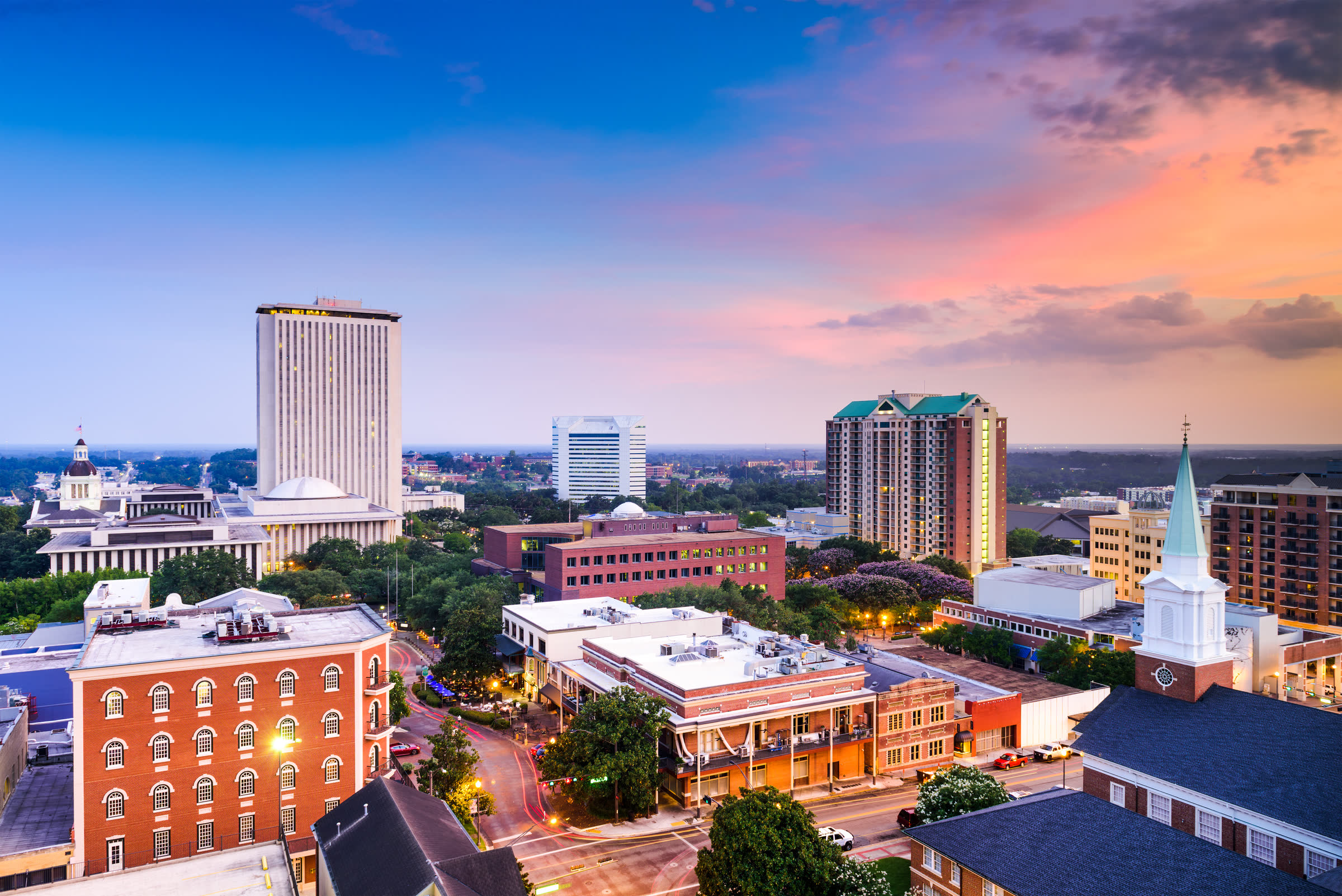
Leon County
Canopy roads and college-town energy
152 events345 places to eat49 things to do
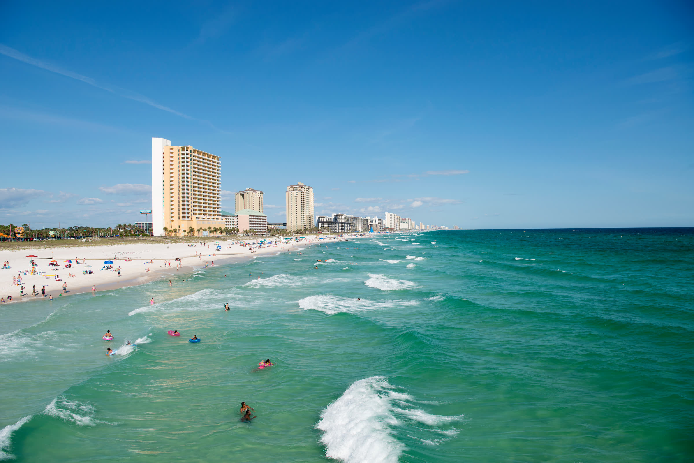
Bay County
Bayside parks and small-town Saturdays
14 places to eat10 things to do